See which features a file is attached to
A file or link attached to a feature on the map says so on its row in the project's Files list; from there, one selection opens the map on the feature.
- Open Projects and choose the project.
-
In Files, find the file. The chip under its name reads Attached to and the feature's name, or Attached to 2 features (or however many).
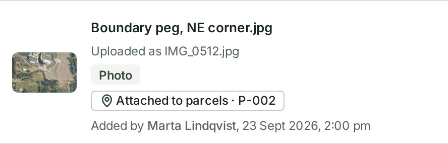
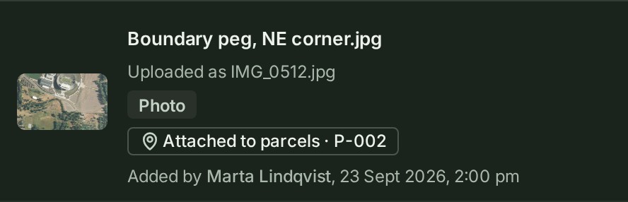
-
Select the chip. For more than one feature, choose one from the menu it opens.
What happens next
The map opens on that feature, zoomed to it, with its card open in the Inspector on Files, where the file you came from is listed. A feature from an older release opens the map on that release.
If something goes wrong
- Could not be loaded. under Attached to in a file's details: the list of features did not load. Close the details and open them again.
- There is no chip. The file is not attached to anything; see Attach a file or link to a feature.
More
- To list only the attached files, select the Attached to a feature chip above the list. A file added from a feature's own Files tab also says so on Uploads.
- Where else the features are listed, and how the map's link behaves: The Files list. Other words are in the glossary.