Choose units and coordinate formats
Choose how areas, distances and coordinates are shown to you. The choice is yours, not the organisation's: colleagues keep their own.
-
Open Preferences from your picture at the top right, then select the Units and formats tab. The tab shows Regional measurements.
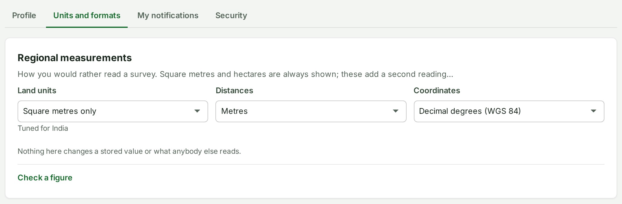
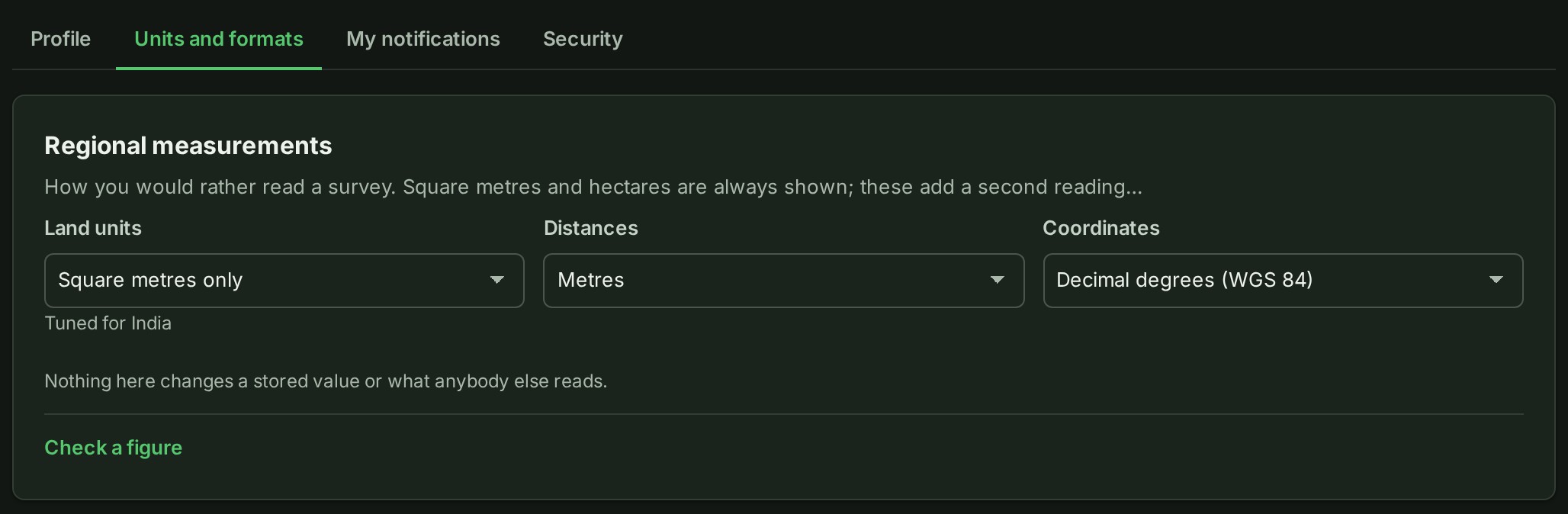
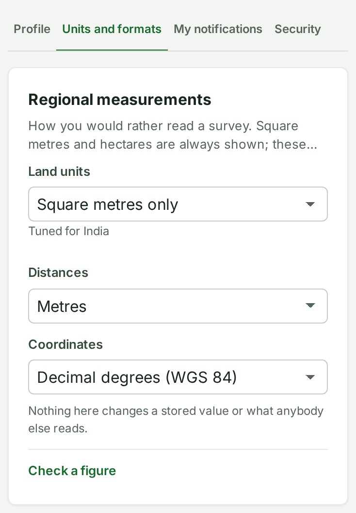
 2. In Land units, choose the unit you read areas in.
Saved appears at once.
3. In Distances, choose metres or feet.
Saved appears at once.
4. In Coordinates, choose decimal degrees, degrees, minutes and seconds, or projected grid coordinates.
Saved appears at once; there is no Save button.
What happens next
Areas, distances and coordinates are shown your way from now on. Square metres and hectares are always shown beside your choice, and nothing here changes a stored value or what a colleague reads.
To convert one figure without changing your choices, use Check a figure on the same tab.
If something goes wrong
- A choice is refused because another tab saved first. Select Reload, then choose again.
- A note such as Tuned for … shows under Land units until you choose a value yourself. It names the starting choice for your organisation's region, not a fault.
Next: Edit your profile