Read or enter a position
Use the Coordinates panel to go to a position you have from another tool, or to pass a position to someone else; for the bearing between two positions, see Read a bearing between two positions.
- With a project open on the map, select Coordinates in the rail on the left. It is on a tablet or a computer; a phone does not offer it.
-
Give the panel a position, in any of three ways:
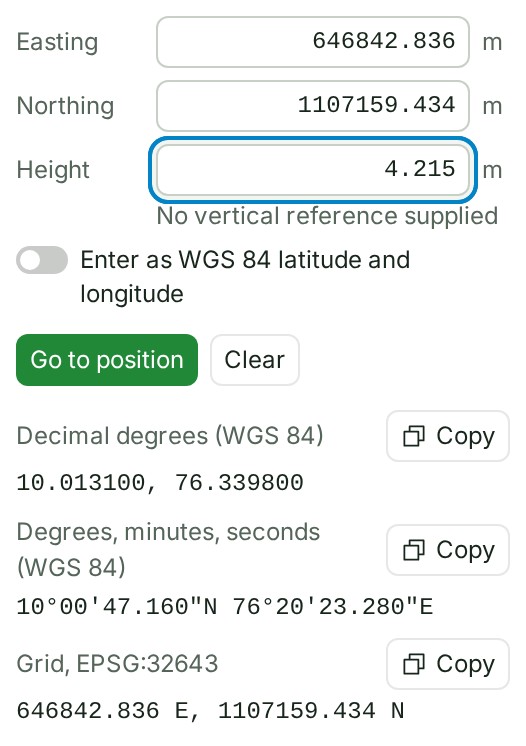
- type a value in Easting, Northing and, if you have one, Height (in metres), or in Latitude and Longitude when the project is in degrees;
- paste a whole position into any one field, in one of the formats the panel reads;
- click a point on the map.
-
Check the line under the fields: after a paste it says how the values were read. As soon as the fields hold a position, the marker moves there.
- Select Go to position, or press Enter. The map moves to the position.
What happens next
The marker stays until you clear it.
Under the fields the position is written as Decimal degrees (WGS 84), Degrees, minutes, seconds (WGS 84) and, when the project's system is a projected grid in metres, a Grid, name reading using the project's own code. Select Copy beside the form your document or instrument needs.
Press Escape, or select Clear position, to empty the fields and remove the marker.
If something goes wrong
- Expected latitude and longitude, or easting and northing, with an optional height after them. The paste was not a position. The fields keep what they had.
- Read …, which is outside EPSG:…; expected a position in the project’s zone. The paste was read, but the position would be outside the project's zone, so it was not placed. Check that the position belongs to this project.
- Read …, but a comma or space may be splitting a number. Paste numbers with no commas or spaces between digits. A number copied with thousands separators (6,25,861.173 or 625 861.173) is the usual cause. Paste it without them.
- That easting and northing are outside …, the project’s zone. Check the typed values; the marker does not move until they are inside it.
Details
Other controls
- To type latitude and longitude in a project measured on a grid, turn on Enter as WGS 84 latitude and longitude. The values convert in place, and back again when you turn it off.
- The up and down arrow keys change the value in the field by its last decimal place; hold Shift for ten times that.
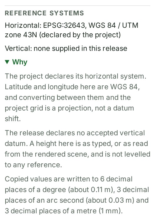
- Reference systems gives the horizontal system the project declares and the vertical reference, which most deliveries do not supply (the Height field says so too). Why explains both and the precision of each copied form.