Make a PDF map
Who can do this
Anyone who can read the project Every plan includes the plan sheet and 3D view pages.
A survey plan PDF is a scaled drawing of what the map shows, made in your browser from the layers you have turned on.
- With a project open on the map, turn on the layers you want on the sheet. The map draws them.
- Select Export in the rail on the left. The Survey plan PDF panel opens.
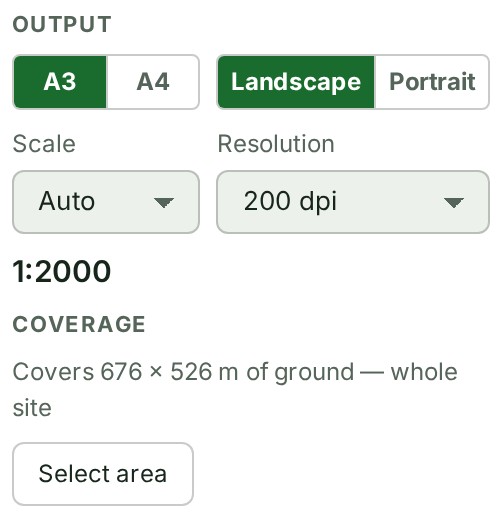
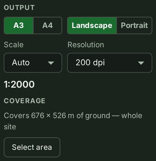
- Under Output, choose the Sheet size, the Orientation, the Scale (or Auto) and the Resolution.
-
Under Coverage, keep the whole site, or select Select area and drag the ground the sheet should cover.
-
Under Pages, keep Plan sheet ticked, and tick any 3D views you want added.
- Select Generate PDF. The sheet opens under Review before saving.
-
Check the sheet in Review before saving. Select Save when it is right.


What happens next
The PDF downloads, named after the site and the scale, and the panel says Saved … with the file's name. Nothing is stored in GISweaver; make a new PDF whenever you need one.
If something goes wrong
- At this scale part of the site falls outside the sheet. Choose a smaller scale (a larger number after 1:), a larger Sheet size, or Auto.
- Select the plan sheet or a 3D view: an export needs at least one page. Tick Plan sheet or a 3D view.
- The capture area is off screen. Select Show area to bring it back into view.
- The area drawn does not describe any ground. Draw the capture area again. Select Select area and drag again, or Use whole site.
- 3D views need a published elevation grid or point-cloud layer. This release has neither. The 3D views can only be added when the survey has one.
- {layers} cannot be included: the provider does not permit image export. Switch it off in the base map chooser, or export without imagery. The message names the imagery layers. Turn them off under Base map source, as Change the base map describes, or leave imagery out.
- A sensitive-downloads policy refuses the export, and the screen says Your organisation limits who may download originals and exports from this project. Ask an access administrator. See Access policies.
- A page or tool you expect is missing. Your plan may not include it: open Billing and choose Compare all features.
- A schedule is shortened, or source content is missing. Read the warning in the panel or on the sheet: the export reports its limits and missing data and never fills them in.
For what the sheet holds, the title block, and how a drawing differs from the source files, see PDF maps in the map reference.
The product words on this page are explained in the glossary.
Next: Issue a survey export