Draw a point, distance or area and keep it as saved work
Who can do this
Owners, administrators, and colleagues who can add work to the project (branch managers and members, project leads and contributors). A Viewer, Billing manager or Auditor sees saved work on the map but cannot change it. Every plan.
Saved work is a mark of your own on top of the survey, such as a boundary stone you found; it is kept with the project and never changes the delivered survey.
- With a project open on the map, pick a tool on the tool strip: Point (press 2), Distance (press 3) or Area (press 4). The status bar says what to click next.
- Click the map. A Point takes one click; a distance or an area takes a click at each corner, then Enter or a double-click. The Inspector shows what you have drawn.
- Select the pencil beside its name in the Inspector (Add a name), type the name and select Save. The Inspector shows the name.
What happens next
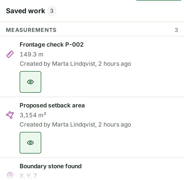
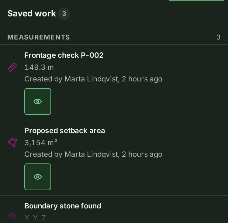
The shape saves by itself. Only the name needs Save. It is listed under Saved work in the rail, grouped under Measurements.
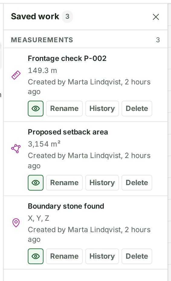
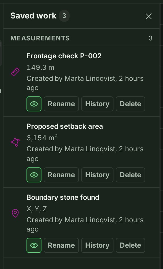
On a phone, open More, then Saved work.
If something goes wrong
- Saved work could not be updated. Nothing is lost — saving will be retried. Keep working; GISweaver saves again when it can.
- Someone else changed this project’s saved work. Reload to see their changes. Reload the page, then make your change again.
- A saved item marked Unsaved in Saved work has not reached the project yet. Leave the page open until the mark goes.
To find, rename or delete what you saved, see Find, rename or delete saved work. To preview a parcel split or merge, see Preview a parcel split or a merge. To place a point by its coordinates, see Edit a point's coordinates.
The product words on this page are explained in the glossary.