Move around the map
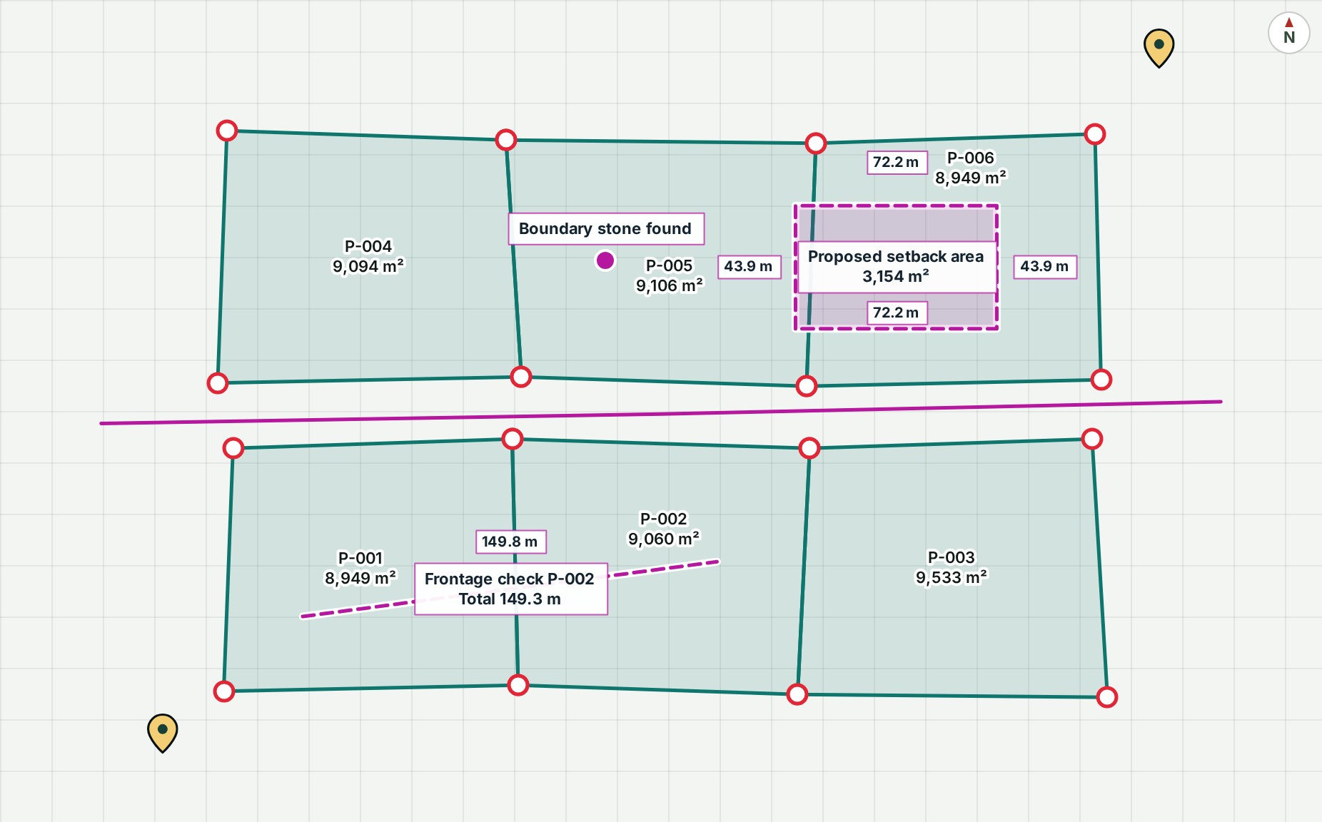
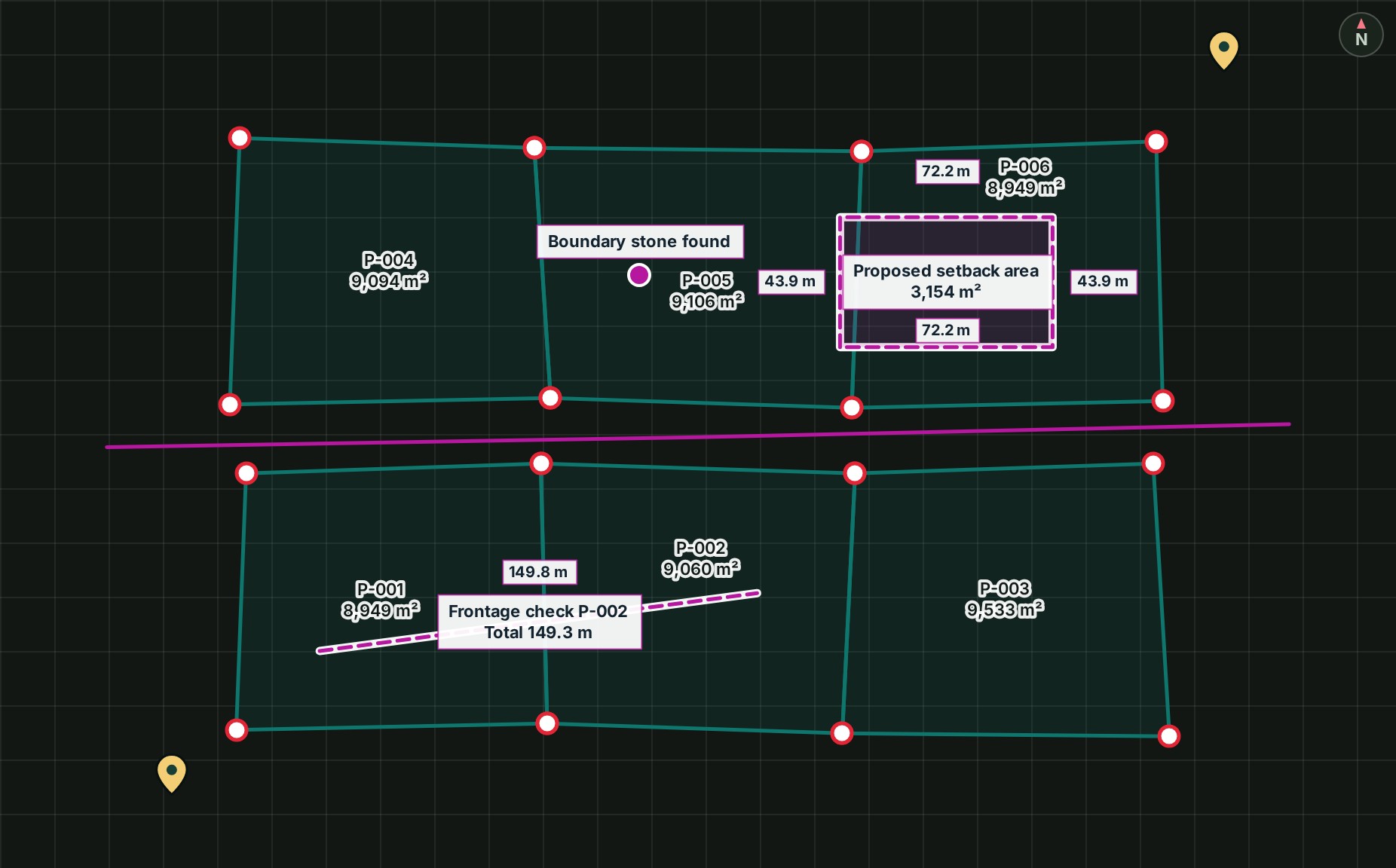
Once a project is open on the map, you move around it with the mouse or your fingers, and come back to the whole survey with one button.
- Drag the map to move it. On a phone or tablet, drag with one finger. The survey slides with your hand.
- Zoom with the mouse wheel, by pinching, or with the + and − keys. The map zooms in or out.
-
Select Fit survey on the tool strip (or press F). The whole survey comes back into view.
-
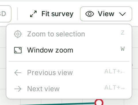
Open View for Zoom to selection, Window zoom, Previous view and Next view. The menu lists each with its key.
What happens next
The map stays where you leave it. When you open the same project again, it comes back to this view, unless you open a link to a particular place.
If something goes wrong
- Zoom to selection, in the View menu, is greyed out: Select a feature or area to zoom to it. Select something on the map or in a list first.
- Previous view, in the View menu, is greyed out: No earlier view in this session. You have not moved the map since you opened it.
- The map opens on empty ground: select Fit survey. A project's site area can lie away from its layers; Fit survey goes to the layers, in 2D and in 3D. If the survey is still not where you expect, check that you opened the right project and release.
- The ground under the survey is blank, but the survey is in view: see Change the base map.
- The map feels crowded: select Focus the map, hide a panel you are not using, or drag its edge to make it narrower.
- A label you expect is missing: GISweaver does not draw a label it cannot place clear of the panels. Hide a panel you do not need, or select Focus the map, and the label returns when there is room.
In 3D, Fit survey works the same way, even when no point cloud is drawn.
Details
The view controls
The controls and their keys are listed in the map reference.
North up
If you turn the map, the north arrow on the map shows by how much. Select it (Reset north) to turn the map north up again.
More room for the map
Focus the map hides the panels and gives the map the whole window; select Exit focus mode, or press Esc, to bring them back. Layout sets how dense the panels are and which side they sit on, and Reset layout puts them back as they were.
Labels
Labels stay clear of the panels, the tool strip and the status bar, and move within the room the map has left. When a label cannot sit beside what it names without crossing something else, GISweaver draws a thin leader line back to it. A parcel's survey number and area go inside its outline when there is a clear spot at the current zoom.
Flat or 3D
2D is the flat plan. 3D shows the ground in relief when the survey has an elevation grid or a point cloud: see Look at a point cloud in 3D.
The product words on this page are explained in the glossary.
Next: Turn layers on and off