Issue a survey export
Who can do this
Anyone who can read the project Every plan. An organisation can issue up to 2,000 exports, or 2 GiB of export files, on any plan.
Write your exact measurements as DXF, GeoJSON or CSV files for CAD or GIS software, kept exactly as issued so you can download them again, byte for byte, later.
- With a project open on the map, select Export in the rail on the left. The export panel opens.
-
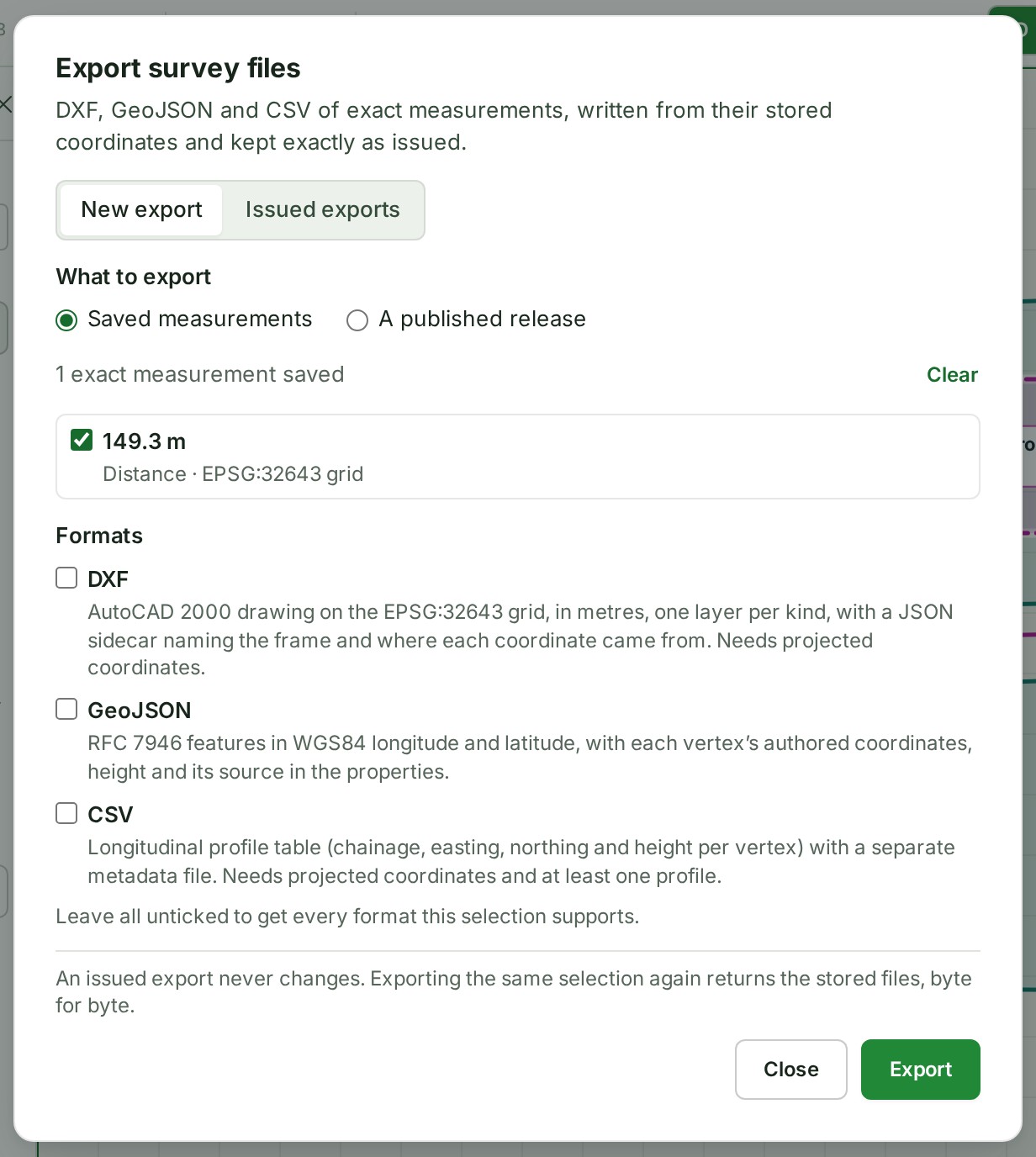
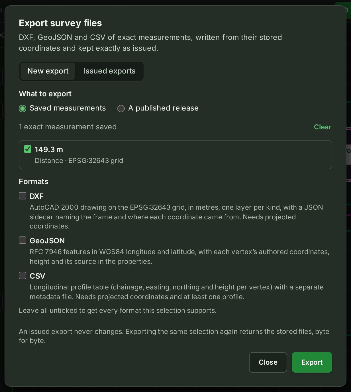
Select Export measurements (DXF, GeoJSON, CSV) at the top of the panel. The export dialog opens.
-
Under What to export, choose Saved measurements and tick the ones to export (or Select all), or choose A published release and pick the release.
- Under Formats, tick DXF, GeoJSON or CSV, or tick none to get every format the selection can be written in.
-
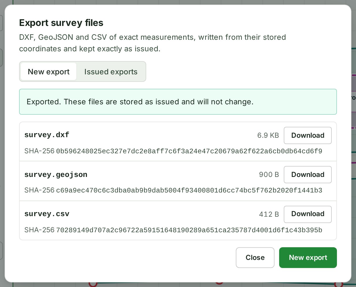
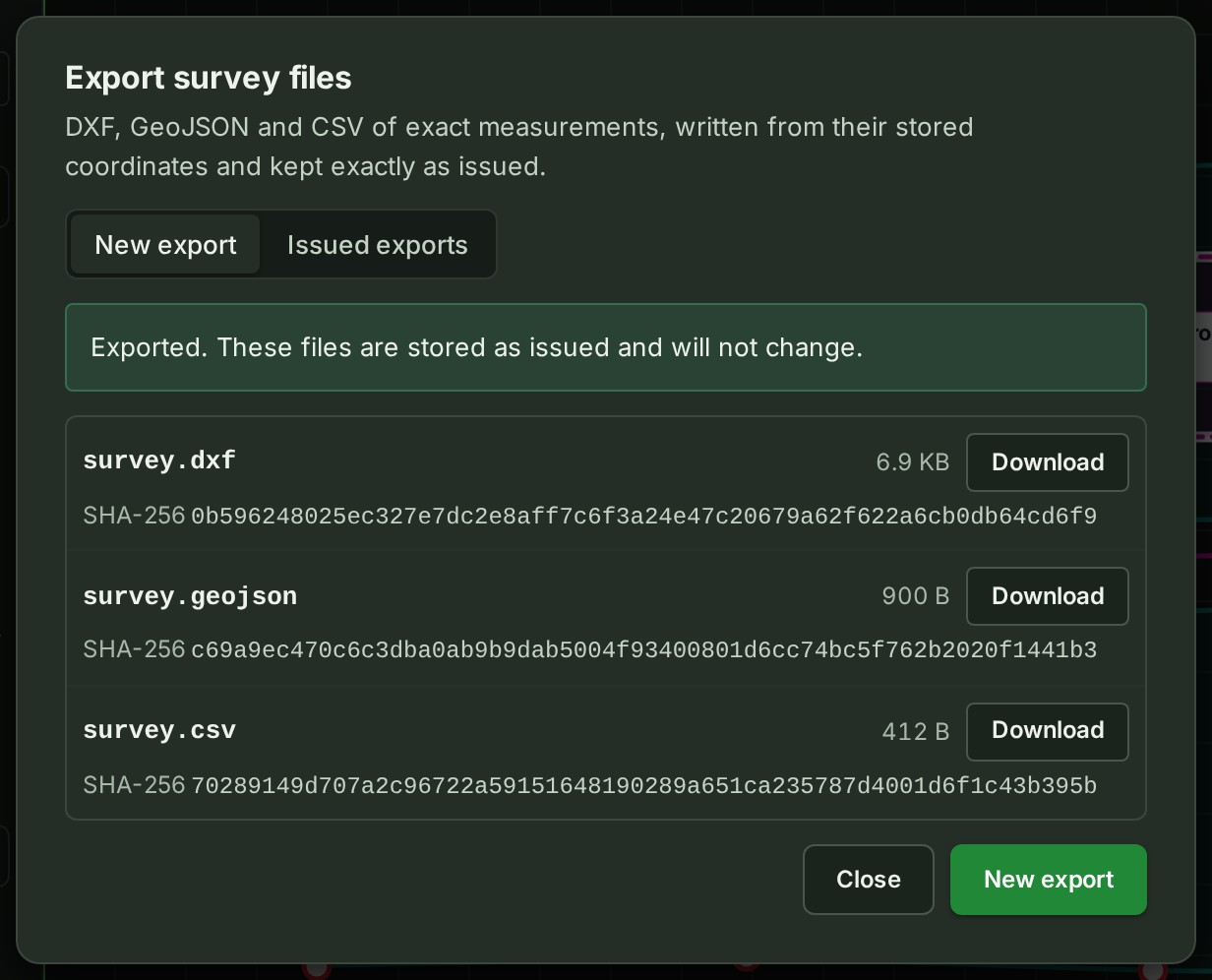
Select Export. The dialog lists the files.
-
Select Download beside each file. The file downloads.
What happens next
The dialog says Exported. These files are stored as issued and will not change. Each file is listed with its SHA-256, a fingerprint that lets the receiver check the file is the one you sent. The receiver can check each file against it with any SHA-256 tool.
Issued exports lists this project's 50 newest exports, newest first.
If something goes wrong
- No exact measurement is saved in this project yet. Only exact measurements can be exported. Open a measurement and type its exact points first.
- Already exported on … This is the stored export, returned byte for byte; nothing new was issued. Not an error: you get the files issued the first time.
- One export holds at most … measurements. Export them in parts, or publish them and export the release. The limit is 200 measurements in one export.
- A DXF needs projected coordinates in metres … The measurement was made in longitude and latitude only. Export it as GeoJSON.
- The … this selection makes would be larger than 16 MiB. Export fewer measurements at a time.
- That is a lot of exports at once. Try again in a moment. Wait a minute and try again.
- This export would take the organisation past the platform's fixed ceiling of … issued exports or … of export files. The ceiling is fixed in the system and cannot be raised for one organisation. Exports already issued can still be downloaded.
For the formats, releases sent for review and the limits, see Survey exports in the map reference.
The product words on this page are explained in the glossary.
Next: Make a PDF map