Edit a point's coordinates
Who can do this
Owners, administrators, and colleagues who can add work to the project (branch managers and members, project leads and contributors) Every plan.
Type the exact eastings, northings and heights of a saved point, distance or area instead of clicking.
- With a project open on the map, select the saved item: on the map, or under Saved work in the rail. The Inspector shows its card.
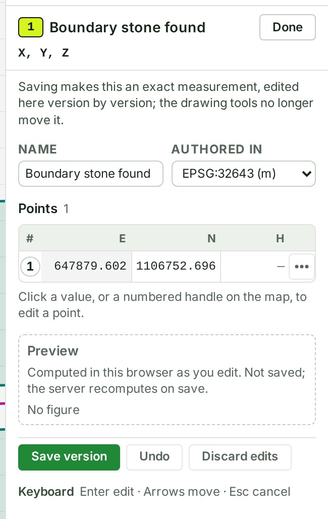
- Select Type exact points at the foot of the card (Edit the points once it has versions). The Points editor opens in its place.
- Choose Authored in: EPSG:32643 (m) (UTM zone 43N, eastings and northings in metres) or EPSG:4326 (°) (longitude and latitude). The table's columns follow your choice: Easting (m) and Northing (m), or Longitude and Latitude.
- Click a value in the table and type the new one. The table shows what you typed.
- Press Enter to keep it. The table holds the new value.
-
Select Save version.
What happens next
The editor says Saved as version 2. (or the next number), and Saved figures shows the length, area or position as the server worked it out. Select Done to go back to the card, which now says Typed points.
GISweaver keeps the item as an exact measurement: each saved change is a new version, and the server works out its figures again. The first time, the editor warns that from then on you change it here, and the drawing tools no longer move it.
If something goes wrong
- Point 2: type a plain decimal number, such as 646842.835. Type the number with a decimal point and no spaces or commas (degrees for EPSG:4326).
- Exact measurements are qualified for EPSG:32643 and WGS 84 only. The project's coordinates are in another system; exact measurements are not available in it.
- The drawing is still being saved. Try again in a moment. Wait for the status bar to say Saved work is up to date.
- A point is outside UTM zone 43N (72° to 78° E). Check the units, and that easting and northing are not swapped. Move the point inside the zone, or draw the measurement in a project whose coordinate system covers that ground.
- The server would refuse this as it stands: … under Preview: correct what the sentence names before you save.
For heights, the row menu, where exact figures are qualified, undo and which screens can do this, see Typed points in the map reference.
The product words on this page are explained in the glossary.