Review a corridor by chainage
Who can do this
Owners, administrators, and colleagues who can add work to the project (branch managers and members, project leads and contributors). Viewers, Billing managers and Auditors have no Analyse section. See Compare all features under Billing for the plans that include corridor review.
Walk a road, canal, railway or pipeline alignment station by station, find the chainage of any point and read the ground across the line.
Corridor review needs a project recorded in one coordinate system (UTM zone 43N, EPSG:32643).
- On a larger screen, open Projects, choose the project, and select Open map on the map at the top of its page. The flat 2D map opens.
- Select Analyse in the rail on the left of the map. The panel is headed Analyse, and Corridor review is at its foot.
-
Choose the alignment in the list under Corridor review. The map draws it with a tick at every station.
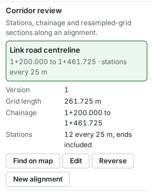
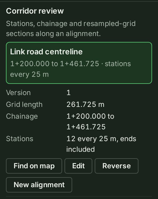
-
Step along the line with the ‹ and › arrows, or choose a chainage in the station list under Stations. The map moves its marker to that station.
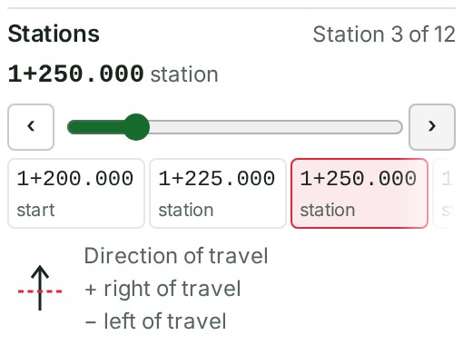
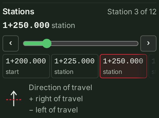
-
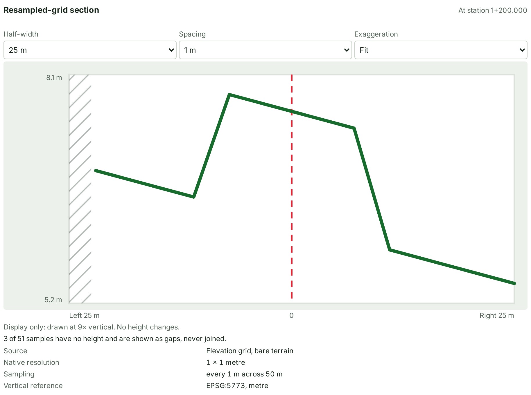
To read the ground across the line, open the Sections tab at the foot of the map (select Show the bottom panel first if it is folded away). The tab shows the cross-section at the current station.
-
Change Half-width, Spacing or Exaggeration. The cross-section redraws.
- To find the chainage of a point, select Find on map. The Inspector asks you to click the map.
- Click the map near the alignment. The panel says where the point is.
What happens next
The panel says where the point is, for example Chainage 1+301.301, 10.885 m right of travel. Nearest station 1+300.000. Chainage is the distance along the line; right and left are as you face along it, from its first vertex to its last. Press Esc, or select Cancel in the Inspector, to stop finding.
If something goes wrong
- This project has no published elevation grid yet, so there is nothing to draw a section from. A cross-section needs an elevation grid in a published delivery to this project. Stations and chainages still work without one.
- This point lies before the start of the alignment, beyond its first vertex, so it has no chainage. (or past the end) Click beside the line, between its two ends.
- This point is as near one leg of the corner at vertex … Click a little nearer one of the two straight parts.
- A section this wide crosses the alignment again, so its far end belongs to another stretch. Choose a smaller Half-width.
- The section could not be drawn just now. Select Try again.
- Alignments are qualified for projects recorded in EPSG:32643 (WGS 84 / UTM zone 43N) only … You can read alignments in other projects but not add or change them.
For stations, the cross-section controls and why lengths are grid lengths, see Corridor review in the map reference.
The product words on this page are explained in the glossary.