Turn layers on and off
Hide the layers you do not need so the rest of the survey is easier to read; only your own view changes, never anyone else's map or the survey.
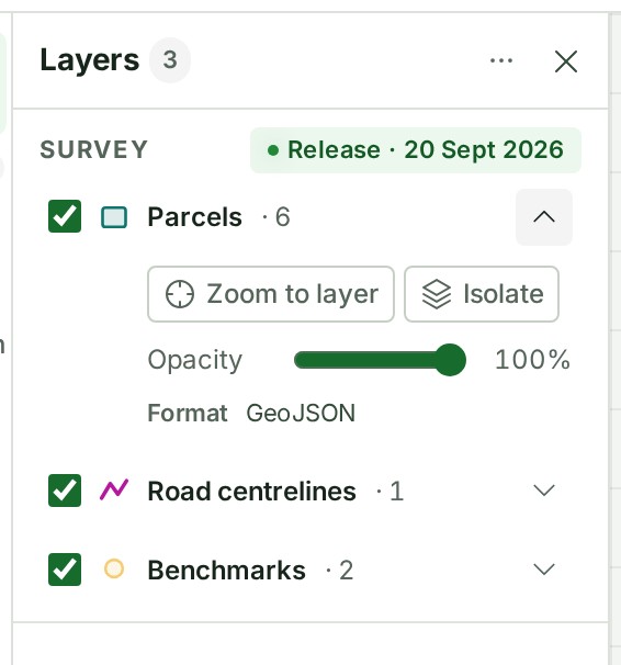
- With a project open on the map, select Layers in the rail on the left (on a phone, the Layers tab). The panel lists the survey's layers.
-
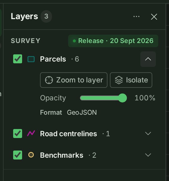
Tick a layer to show it, or untick it to hide it. Each row shows how the layer is drawn (a filled square for areas such as parcels, a line for lines such as road centre lines, the marker for points such as benchmarks) and, after its name, how many features it holds, as in Parcels · 6.
What happens next
The map shows only the ticked layers. GISweaver remembers your choice for you, in this project and release.
If something goes wrong
- A layer you ticked does not appear: it may lie outside the part of the map you are looking at. Open its details and select Zoom to layer.
-
The status line at the foot of the map says 1 layer outside EPSG:…, or 2 layers outside EPSG:…. A layer drawn from a different coordinate system is shown moved onto the project's grid. Select Fit survey to see all layers.



 - The status line at the foot of the map says 1 layer did not draw completely, and the Layers panel says 1 layer is not showing everything. The layer's features did not arrive, for example because the connection went quiet. Panning or zooming the map asks again by itself; select Retry on the status line to ask again at once. If it keeps failing, see The status line says a layer did not draw completely.
- The layers no longer look as they were delivered: open Layer preferences (the ⋯ at the top of the panel) and select Reset layer preferences. This puts back the layers' visibility and drawing as the delivery set them, for you only.
Details
The controls in a layer's details
Each control is listed in the map reference.
The feature count appears once the layer's features have loaded; a layer that has not loaded yet shows its name alone.
Point clouds
A point cloud is drawn only in 3D. In the flat map its row says so, with View in 3D: see Look at a point cloud in 3D.
The product words on this page are explained in the glossary.