Preview a parcel split or a merge
Who can do this
Owners, administrators, and colleagues who can add work to the project (branch managers and members, project leads and contributors) Every plan.
Draw a proposal over the release to see the shapes and areas a split or a merge would give, without changing anything that is published.
-
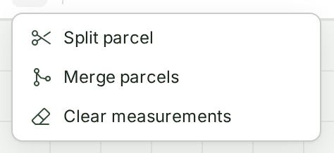
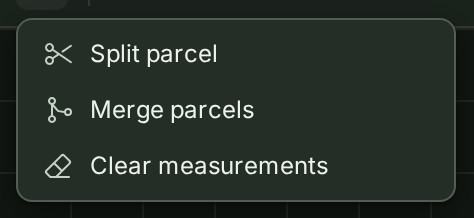
With a project open on the map in 2D, choose More on the tool strip, then Split parcel or Merge parcels. The status bar says what to click.
-
To split, select one parcel, then draw one straight cut fully across it. The Inspector shows the two new shapes and their areas.
- To merge, select two adjacent parcels. The Inspector shows the merged shape and its area.
What happens next
The proposal stays on the map as a preview. Select a preview to see its shape and its parent parcel in the Inspector.
Undo parcel edit removes the latest preview, and Clear parcel edits removes them all.
If something goes wrong
- The tools do not work in 3D. Switch to 2D first.
- A preview is not a corrected survey and changes no boundary in the release. If the survey needs correcting, upload a new release.
The product words on this page are explained in the glossary.