Open a project on the map
Open a project's survey on the map to see its parcels, lines and points, with your own measurements on top.
- Open Projects and choose the project. The project's page opens on its Project tab.
-
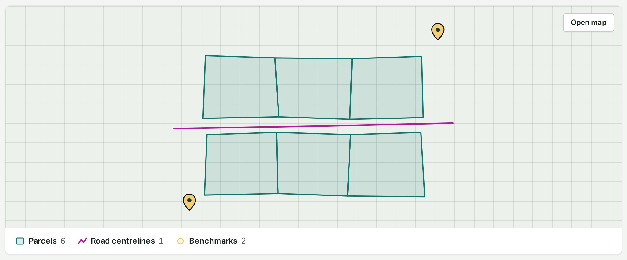
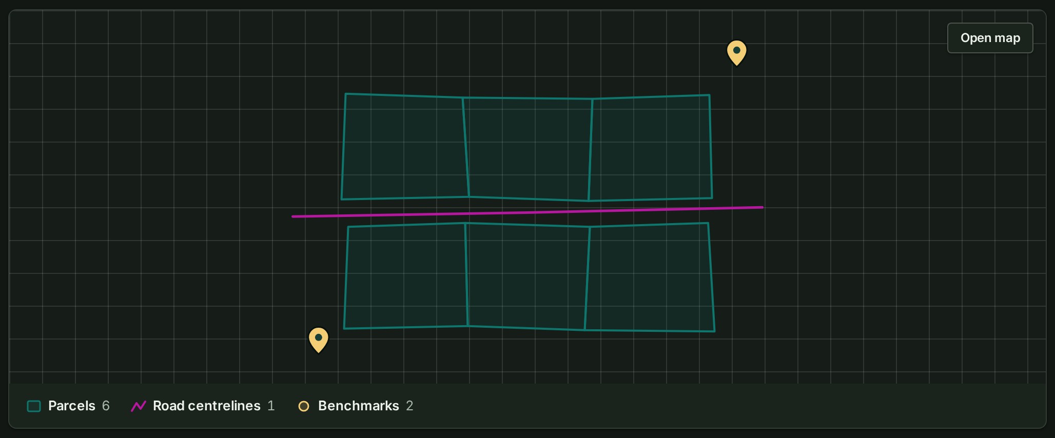
Select Open map at the top right of the picture of the survey, or select the picture anywhere. The map opens on the survey.
What happens next
GISweaver remembers where you were. The next time you open the same project, it comes back to your last view and the panels you had open.
What each part of the map holds, and what Esc does, is in the map reference.
If something goes wrong
Open map is missing, and the picture says one of these things instead:
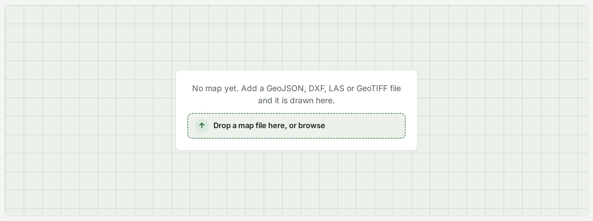
- No map yet. Add a GeoJSON, DXF, LAS or GeoTIFF file and it is drawn here. Drop a file on the picture or select Drop a map file here, or browse; it is drawn once processed. A PDF or a photo is kept with the project but not drawn.
- No map yet. Map files added to this project are drawn here. You may not add files; ask someone who can.
- The draft's map could not be loaded. Try again in a minute. Select Try again, or reload the page after a minute. A release's map that cannot be read says the same about the release.
- Loading the map… The picture is still being drawn. It keeps its shape, so the page does not jump when it arrives.
- This draft has too many features to preview here. Open the map to see it. The picture shows what it can. Select Open map.
A control that is greyed out stays on screen with its reason: point at it, or read the message in the panel. A tool that a shared delivery or a viewer role cannot use is not shown at all.
| What you see | What to do |
|---|---|
| A 3D view or an export page is unavailable | The release, your browser, what your plan card and Compare all features show your plan includes, or the shared access does not allow it. Read the message in Export or in the shared release's details. A 2D plan sheet may still be available. |
| A saved-work change conflicts | Someone else saved a newer version. Reload, read the server's version, then decide what to keep. |
If Find returns nothing, see Find a feature on the map.
Details
What the picture on the project's page shows
The picture is the same survey the map draws, fitted to it and read-only: you cannot pan it, only open it. Under it, each layer is listed with a small swatch of how it is drawn and how many features it holds.
- A project with a published release shows that release.
- A project with a draft open shows the draft. A switch at the picture's top left, Draft and the release's name, changes what it shows, and Open map then opens the map on the same one.
- A point cloud (a LAS file) or a GeoTIFF is drawn as an outline where it lies, and listed as Point cloud or Raster. The map itself draws them.
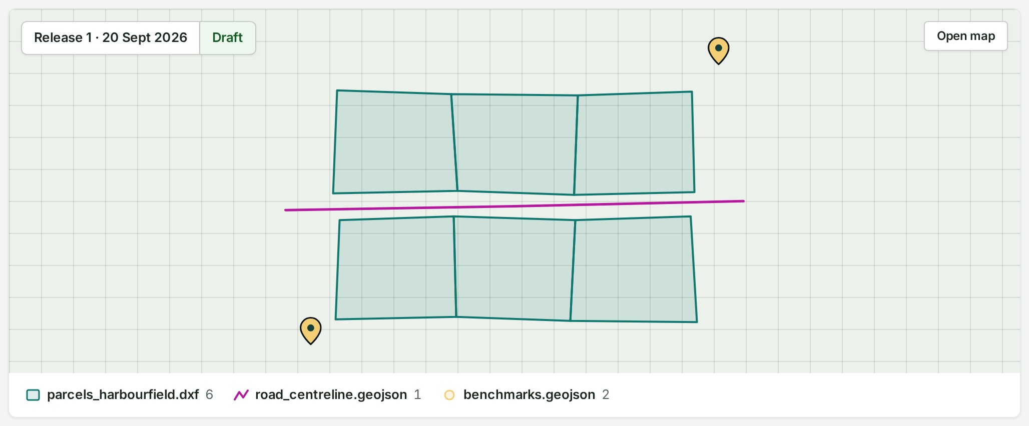
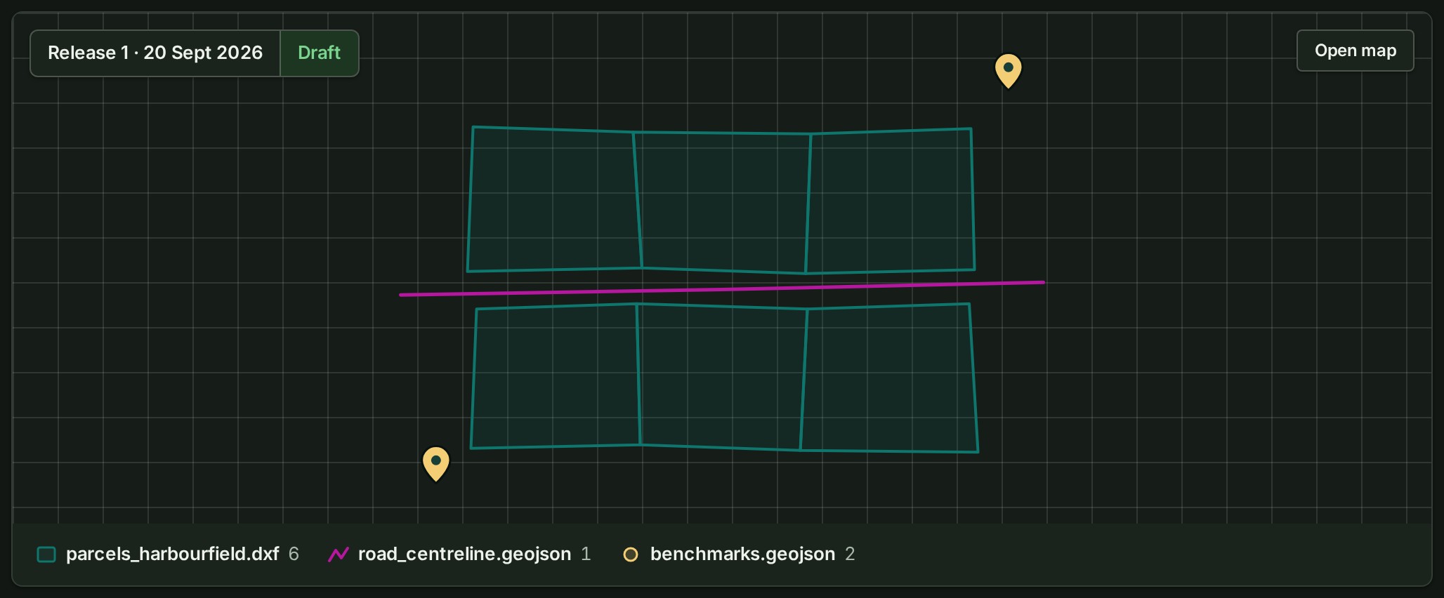
On a phone the picture is taller than it is wide, so it fits the screen. Open map and the draft switch sit over its top corners, and the layers are listed under it.
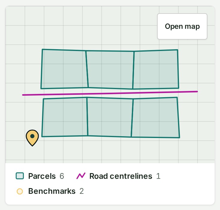
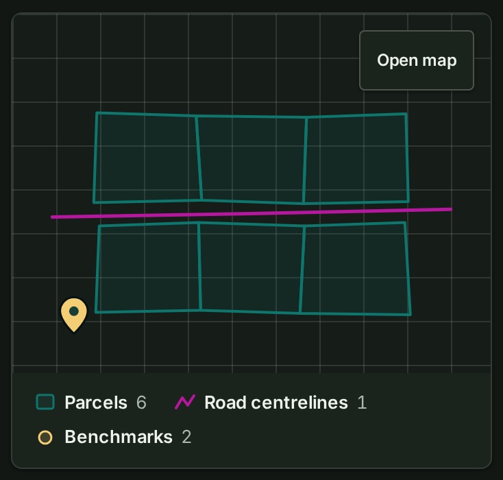
On a phone
The rail and the tool strip give way to a short strip at the foot (Select, Point, Distance, Comment and the 2D and 3D switch) and four tabs: Layers, Inspector, Conversation and More. More opens the other panels. Under On a larger screen it lists what only a desk or laptop screen does: Editing the points, Drawing areas, Corridor review, Exports and Splitting and merging parcels.
If you can only read the project
A viewer, and the billing and auditor roles, see a shorter rail (Layers, Conversation, Find and Export) and no drawing tools.
Opening the map without choosing a project
Going straight to the map's address, without naming a project, opens Home. Select Open map on its Continue card to go back to the map of the project you opened last.
The product words on this page are explained in the glossary.
Next: Move around the map