Compare parcels
Keep up to four delivered parcels together under the map to compare their attributes. Parcel comparison is available on larger screens.
- With a project open on the map, select a delivered parcel.
- Choose Compare in the Inspector. The parcel moves into the Compare tab under the map.
-
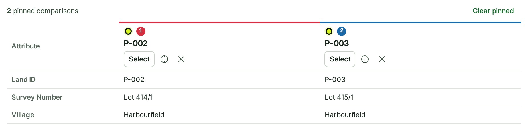
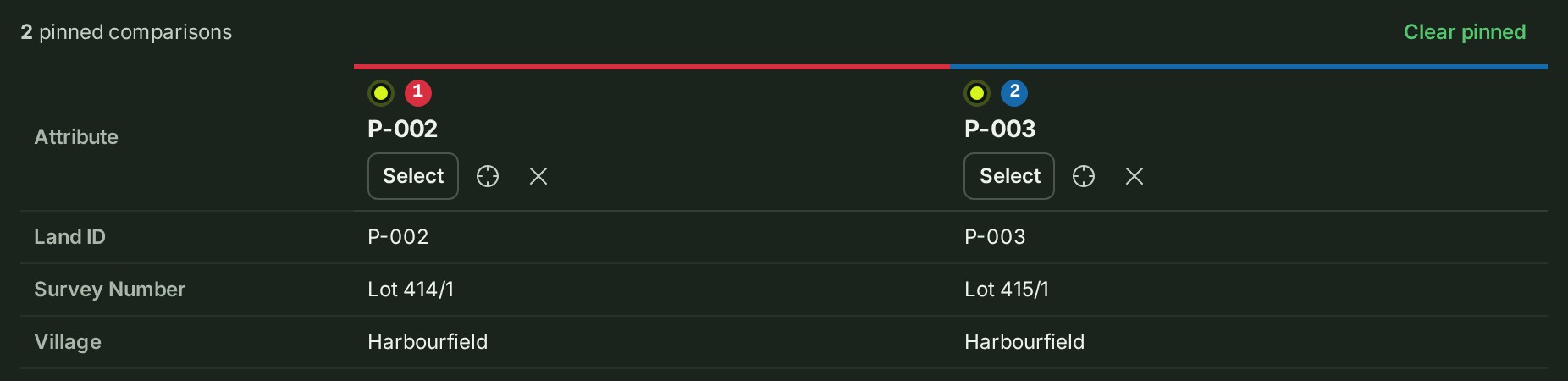
Select another parcel and choose Compare again. Each parcel becomes a column, and one shared label column names each attribute once, so the same attribute lines up across parcels.
-
Choose Select on a column to open its attributes in the Inspector, or its Zoom to control to frame the parcel.
What happens next
Each column has a numbered colour matching its mark on the map. A value the map computed from the parcel's geometry, such as its area, is marked Computed; an attribute one parcel carries and another does not is shown as a dash, and one the delivery left empty reads Not provided. Close a column to remove it, or choose Clear pinned to remove all comparisons. Comparisons last until you reload the map.
On a phone, open the map on a larger screen to compare parcels. Profile comparisons stay in the Profile tab; they are separate from parcel comparison.